
Thank you for supporting this site ❤️
Make a donation
Make a donation
Morathota topographic map
Click on the map to display elevation.
Thank you for supporting this site ❤️
Make a donation
Make a donation
About this map
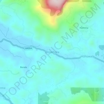
Name: Morathota topographic map, elevation, terrain.
Location: Morathota, Ratnapura District, Sabaragamuwa Province, Sri Lanka (6.59273 80.55916 6.63273 80.59916)
Average elevation: 213 m
Minimum elevation: 121 m
Maximum elevation: 701 m
Thank you for supporting this site ❤️
Make a donation
Make a donation
Other topographic maps
Click on a map to view its topography, its elevation and its terrain.