
Thank you for supporting this site ❤️
Make a donation
Make a donation
Sucheng District topographic map
Click on the map to display elevation.
Thank you for supporting this site ❤️
Make a donation
Make a donation
About this map
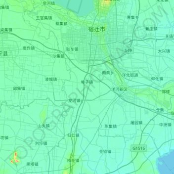
Name: Sucheng District topographic map, elevation, terrain.
Location: Sucheng District, Suqian, Jiangsu, China (33.56915 118.02243 34.03191 118.60499)
Average elevation: 21 m
Minimum elevation: 10 m
Maximum elevation: 152 m
Thank you for supporting this site ❤️
Make a donation
Make a donation