
Kovaci topographic map
Interactive map
Click on the map to display elevation.
About this map
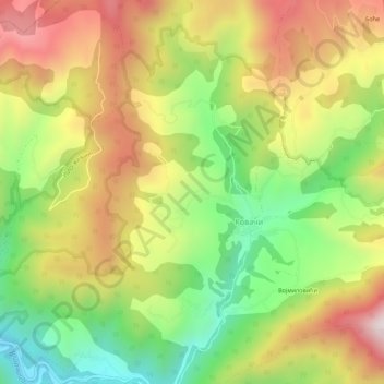
Name: Kovaci topographic map, elevation, terrain.
Location: Kovaci, Raska Administrative District, Central Serbia, Serbia (43.40234 20.71830 43.44234 20.75830)
Average elevation: 810 m
Minimum elevation: 455 m
Maximum elevation: 1,195 m