
Thank you for supporting this site ❤️
Make a donation
Make a donation
Matar topographic map
Click on the map to display elevation.
Thank you for supporting this site ❤️
Make a donation
Make a donation
About this map
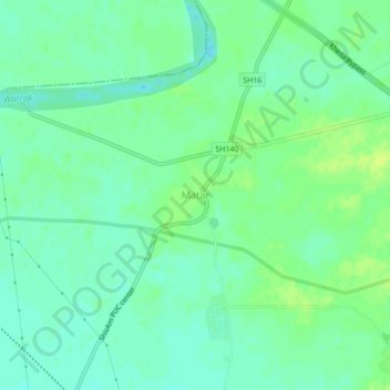
Name: Matar topographic map, elevation, terrain.
Location: Matar, Matar Taluka, Kheda District, Gujarat, 387530, India (22.68738 72.64232 22.72738 72.68232)
Average elevation: 25 m
Minimum elevation: 18 m
Maximum elevation: 32 m
Thank you for supporting this site ❤️
Make a donation
Make a donation