
Dharanikota topographic map
Interactive map
Click on the map to display elevation.
About this map
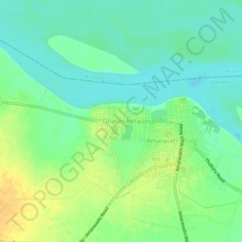
Name: Dharanikota topographic map, elevation, terrain.
Location: Dharanikota, Amaravathi, Guntur, Andhra Pradesh, 522020, India (16.55769 80.32859 16.59769 80.36859)
Average elevation: 29 m
Minimum elevation: 17 m
Maximum elevation: 46 m