
Albert topographic map
Interactive map
Click on the map to display elevation.
About this map
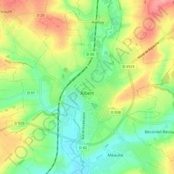
Name: Albert topographic map, elevation, terrain.
Average elevation: 82 m
Minimum elevation: 44 m
Maximum elevation: 136 m
Une station météorologique existe depuis le 1er mai 1987 à l'aéroport Albert-Picardie (coordonnées géographiques. 49,97194, 2,70389), à 107 m d'altitude.