
Mesa Verde topographic map
Interactive map
Click on the map to display elevation.
About this map
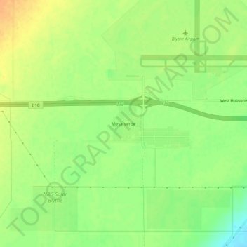
Name: Mesa Verde topographic map, elevation, terrain.
Location: Mesa Verde, Riverside County, Californie, États-Unis (33.58586 -114.75107 33.62586 -114.71107)
Average elevation: 120 m
Minimum elevation: 101 m
Maximum elevation: 136 m