
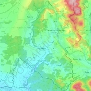
Neuhaus-Schierschnitz topographic map
Interactive map
Click on the map to display elevation.
About this map
Name: Neuhaus-Schierschnitz topographic map, elevation, terrain.
Average elevation: 360 m
Minimum elevation: 301 m
Maximum elevation: 516 m
Other topographic maps
Click on a map to view its topography, its elevation and its terrain.
Judenbach
Deutschland > Thüringen > Föritztal > Judenbach
Judenbach, Föritztal, Landkreis Sonneberg, Thüringen, 96515, Deutschland
Average elevation: 588 m
Gessendorf
Deutschland > Thüringen > Föritztal
Gessendorf, Föritztal, Landkreis Sonneberg, Thüringen, 96342, Deutschland
Average elevation: 411 m
Föritz
Deutschland > Thüringen > Föritztal
Föritz, Föritztal, Landkreis Sonneberg, Thüringen, 96524, Deutschland
Average elevation: 360 m