
Thank you for supporting this site ❤️
Make a donation
Make a donation
Muhanga topographic map
Click on the map to display elevation.
Thank you for supporting this site ❤️
Make a donation
Make a donation
About this map
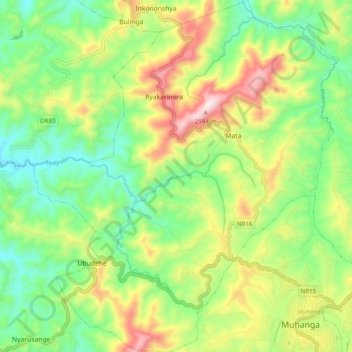
Name: Muhanga topographic map, elevation, terrain.
Location: Muhanga, Muhanga District, Southern Province, Rwanda (-2.09235 29.67808 -1.99392 29.76378)
Average elevation: 1,803 m
Minimum elevation: 1,566 m
Maximum elevation: 2,190 m
Thank you for supporting this site ❤️
Make a donation
Make a donation