
Gano topographic map
Interactive map
Click on the map to display elevation.
About this map
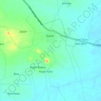
Name: Gano topographic map, elevation, terrain.
Location: Gano, Dawakin Kudu, Kano, Nigeria (11.79326 8.67588 11.84966 8.75010)
Average elevation: 435 m
Minimum elevation: 420 m
Maximum elevation: 507 m