
Gemeinde Damüls topographic map
Interactive map
Click on the map to display elevation.
About this map
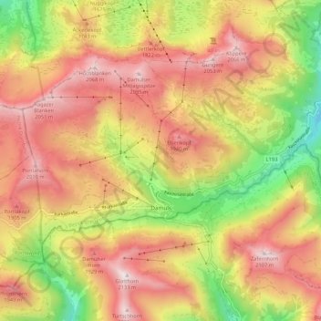
Name: Gemeinde Damüls topographic map, elevation, terrain.
Location: Gemeinde Damüls, Bezirk Bregenz, Vorarlberg, 6884, Oostenrijk (47.26787 9.82374 47.31395 9.92963)
Average elevation: 1,618 m
Minimum elevation: 1,087 m
Maximum elevation: 2,095 m