
Fisher topographic map
Interactive map
Click on the map to display elevation.
About this map
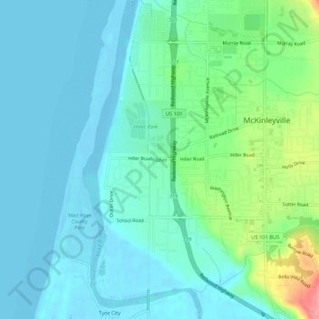
Name: Fisher topographic map, elevation, terrain.
Location: Fisher, Humboldt County, California, 95519, USA (40.92151 -124.13840 40.96151 -124.09840)
Average elevation: 20 m
Minimum elevation: -6 m
Maximum elevation: 94 m