
UNESCO Biosphäre Entlebuch topographic map
Interactive map
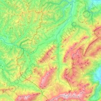
Click on the map to display elevation.
About this map
Name: UNESCO Biosphäre Entlebuch topographic map, elevation, terrain.
Average elevation: 1,145 m
Minimum elevation: 486 m
Maximum elevation: 2,285 m
Other topographic maps
Click on a map to view its topography, its elevation and its terrain.
Escholzmatt
Schweiz > Luzern > Escholzmatt-Marbach
Escholzmatt, Escholzmatt-Marbach, Luzern, 6182, Schweiz
Average elevation: 960 m