
Thank you for supporting this site ❤️
Make a donation
Make a donation
Flachau topographic map
Click on the map to display elevation.
Thank you for supporting this site ❤️
Make a donation
Make a donation
About this map
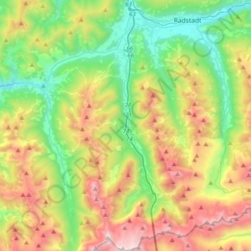
Name: Flachau topographic map, elevation, terrain.
Location: Flachau, Bezirk St. Johann im Pongau, Salzburg, 5542, Austria (47.20628 13.34109 47.40014 13.48510)
Average elevation: 1,457 m
Minimum elevation: 777 m
Maximum elevation: 2,621 m
Thank you for supporting this site ❤️
Make a donation
Make a donation