
Ghuni topographic map
Interactive map
Click on the map to display elevation.
About this map
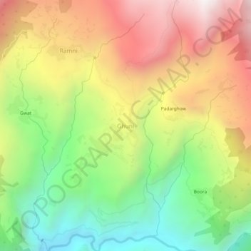
Name: Ghuni topographic map, elevation, terrain.
Location: Ghuni, Chamoli, Uttarakhand, India (30.28461 79.49819 30.32461 79.53819)
Average elevation: 2,313 m
Minimum elevation: 1,577 m
Maximum elevation: 3,131 m