
Gilbert topographic map
Interactive map
Click on the map to display elevation.
About this map
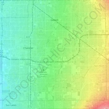
Name: Gilbert topographic map, elevation, terrain.
Location: Gilbert, Maricopa County, Arizona, USA (33.20464 -111.84185 33.38579 -111.68607)
Average elevation: 383 m
Minimum elevation: 358 m
Maximum elevation: 443 m