
Sarkar topographic map
Interactive map
Click on the map to display elevation.
About this map
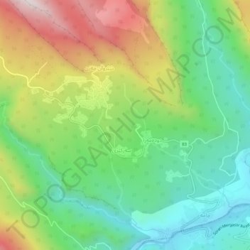
Name: Sarkar topographic map, elevation, terrain.
Location: Sarkar, Mergasur, Erbil, Iraqi Kurdistan, Iraq (36.95792 44.19171 36.99792 44.23171)
Average elevation: 853 m
Minimum elevation: 532 m
Maximum elevation: 1,388 m