
Thank you for supporting this site ❤️
Make a donation
Make a donation
Tablelands topographic map
Click on the map to display elevation.
Thank you for supporting this site ❤️
Make a donation
Make a donation
About this map
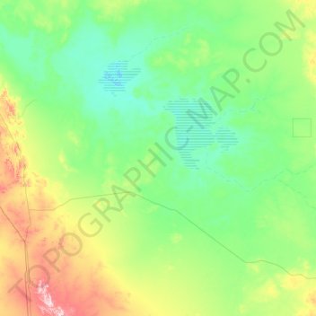
Name: Tablelands topographic map, elevation, terrain.
Location: Tablelands, Barkly Region, Northern Territory, Australia (-19.98784 133.97086 -18.06504 136.63883)
Average elevation: 250 m
Minimum elevation: 201 m
Maximum elevation: 553 m
Thank you for supporting this site ❤️
Make a donation
Make a donation
Other topographic maps
Click on a map to view its topography, its elevation and its terrain.