
Thank you for supporting this site ❤️
Make a donation
Make a donation
Rollins Lake topographic map
Click on the map to display elevation.
Thank you for supporting this site ❤️
Make a donation
Make a donation
About this map
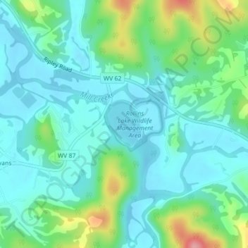
Name: Rollins Lake topographic map, elevation, terrain.
Location: Rollins Lake, Jackson County, West Virginia, United States (38.82224 -81.76568 38.82722 -81.76068)
Average elevation: 201 m
Minimum elevation: 173 m
Maximum elevation: 291 m
Thank you for supporting this site ❤️
Make a donation
Make a donation
Other topographic maps
Click on a map to view its topography, its elevation and its terrain.