
Castillo de Peñiscola topographic map
Interactive map
Click on the map to display elevation.
About this map
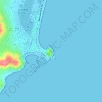
Name: Castillo de Peñiscola topographic map, elevation, terrain.
Average elevation: 5 m
Minimum elevation: -1 m
Maximum elevation: 87 m
The castle is situated on a crag overlooking the Mediterranean Sea, at an altitude of 64 metres (210 ft) above mean sea level.