
Utting topographic map
Interactive map
Click on the map to display elevation.
About this map
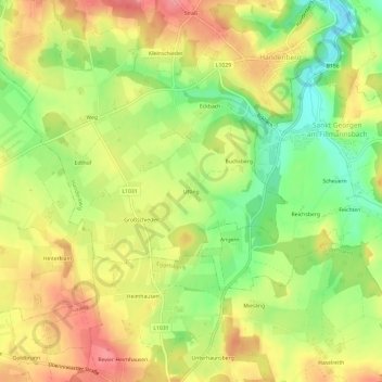
Name: Utting topographic map, elevation, terrain.
Location: Utting, Handenberg, Bezirk Braunau am Inn, 5144, Österreich (48.09998 12.97404 48.13998 13.01404)
Average elevation: 482 m
Minimum elevation: 436 m
Maximum elevation: 523 m