
Wermatswil topographic map
Interactive map
Click on the map to display elevation.
About this map
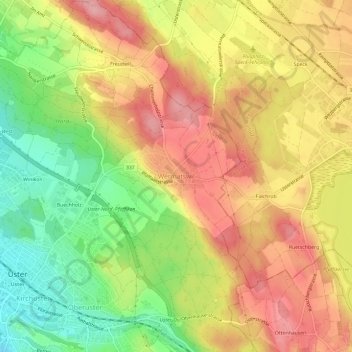
Name: Wermatswil topographic map, elevation, terrain.
Location: Wermatswil, Uster, Bezirk Uster, Zürich, 8615, Schweiz (47.34233 8.72459 47.38233 8.76459)
Average elevation: 530 m
Minimum elevation: 456 m
Maximum elevation: 591 m