
Holthusen topographic map
Interactive map
Click on the map to display elevation.
About this map
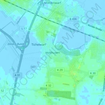
Name: Holthusen topographic map, elevation, terrain.
Location: Holthusen, Weener, Landkreis Leer, Nedersaksen, 26831, Duitsland (53.14098 7.28147 53.18098 7.32147)
Average elevation: 2 m
Minimum elevation: -3 m
Maximum elevation: 9 m