
city de boutet de monvel (ethanlecartographe topographic map
Interactive map
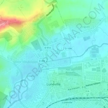
Click on the map to display elevation.
About this map
Name: city de boutet de monvel (ethanlecartographe topographic map, elevation, terrain.
Average elevation: 240 m
Minimum elevation: 219 m
Maximum elevation: 321 m