Geolocate

Jite topographic map

Interactive map

Click on the map to display elevation.

About this map

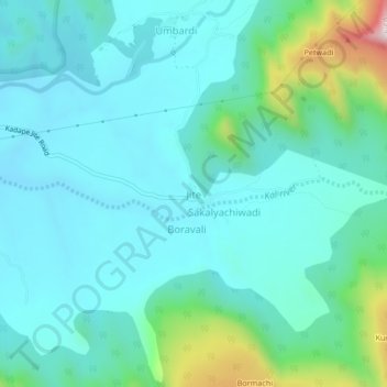
Name: Jite topographic map, elevation, terrain.

Location: Jite, Mangaon, Raigad District, Maharashtra, India (18.33792 73.38217 18.37792 73.42217)

Average elevation: 191 m

Minimum elevation: 89 m

Maximum elevation: 654 m

Other topographic maps

Click on a map to view its topography, its elevation and its terrain.

Patnus

India > Maharashtra > Mangaon

Patnus, Mangaon, Raigad, Maharashtra, 402308, India

Average elevation: 132 m

Goregaon

India > Maharashtra > Mangaon

Goregaon, Mangaon, Raigad, Maharashtra, 402103, India

Average elevation: 38 m