
Khorixas topographic map
Interactive map
Click on the map to display elevation.
Khorixas
The regional hospital and some other regional offices are located in Khorixas, though the capital of the Kunene Region is Opuwo. Khorixas has a landing strip nine kilometers east of town parallel to the C39 main road. The Runway Numbers are 09/27 and elevation is 3320 feet.
About this map
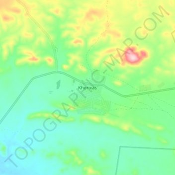
Name: Khorixas topographic map, elevation, terrain.
Location: Khorixas, Kunene Region, Namibia (-20.41384 14.92042 -20.33384 15.00042)
Average elevation: 974 m
Minimum elevation: 897 m
Maximum elevation: 1,149 m