
Bârla topographic map
Interactive map
Click on the map to display elevation.
About this map
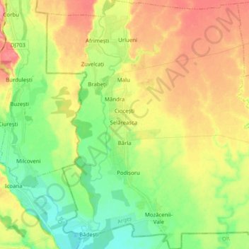
Name: Bârla topographic map, elevation, terrain.
Location: Bârla, Argeș, Romania (44.38694 24.73401 44.49755 24.87559)
Average elevation: 167 m
Minimum elevation: 133 m
Maximum elevation: 207 m