
Govt. Primary School topographic map
Interactive map
Click on the map to display elevation.
About this map
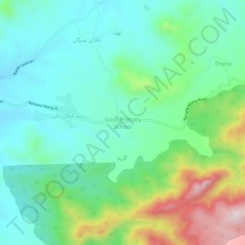
Name: Govt. Primary School topographic map, elevation, terrain.
Average elevation: 721 m
Minimum elevation: 596 m
Maximum elevation: 1,045 m
Other topographic maps
Click on a map to view its topography, its elevation and its terrain.
Dubran
Pakistan > Khyber Pakhtunkhwa > Abbottābād District
Dubran, Havelian Tehsil, Abbottabad District, Hazara Division, Khyber Pakhtunkhwa, Pakistan
Average elevation: 1,144 m