
Kataragama topographic map
Interactive map
Click on the map to display elevation.
About this map
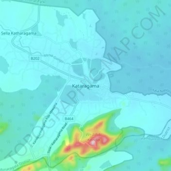
Name: Kataragama topographic map, elevation, terrain.
Location: Kataragama, Monaragala District, Uva Province, 91405, Sri Lanka (6.37356 81.29244 6.45356 81.37244)
Average elevation: 67 m
Minimum elevation: 34 m
Maximum elevation: 404 m