
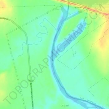
Rio Grande topographic map
Interactive map
Click on the map to display elevation.
About this map
Name: Rio Grande topographic map, elevation, terrain.
Location: Rio Grande, Starr County, Texas, United States (26.54592 -99.17181 26.54765 -99.17014)
Average elevation: 71 m
Minimum elevation: 53 m
Maximum elevation: 97 m