
Narangala topographic map
Interactive map
Click on the map to display elevation.
About this map
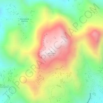
Name: Narangala topographic map, elevation, terrain.
Location: Narangala, Badulla, Badulla District, Uva Province, Sri Lanka (7.03546 81.01034 7.03556 81.01044)
Average elevation: 1,211 m
Minimum elevation: 906 m
Maximum elevation: 1,552 m