
Southgate topographic map
Interactive map
Click on the map to display elevation.
About this map
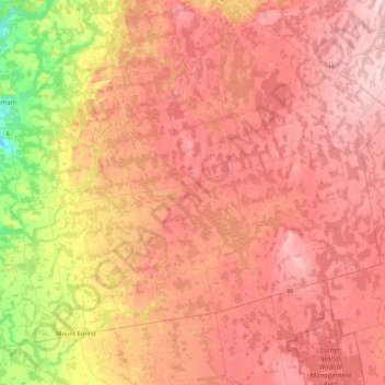
Name: Southgate topographic map, elevation, terrain.
Location: Southgate, Grey County, Ontario, Canada (43.98138 -80.81371 44.21773 -80.36090)
Average elevation: 459 m
Minimum elevation: 329 m
Maximum elevation: 538 m