
Franklin Lakes topographic map
Interactive map
Click on the map to display elevation.
About this map
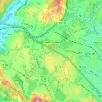
Name: Franklin Lakes topographic map, elevation, terrain.
Average elevation: 130 m
Minimum elevation: 66 m
Maximum elevation: 256 m
Other topographic maps
Click on a map to view its topography, its elevation and its terrain.
Teaneck Township
United States > New Jersey > Bergen County
Teaneck Township, Bergen County, New Jersey, 07666, United States
Average elevation: 20 m