
Mandira Dam topographic map
Interactive map
Click on the map to display elevation.
About this map
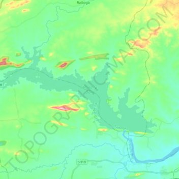
Name: Mandira Dam topographic map, elevation, terrain.
Location: Mandira Dam, Raiboga, Sundargarh, Odisha, India (22.26539 84.50359 22.34932 84.68932)
Average elevation: 226 m
Minimum elevation: 178 m
Maximum elevation: 392 m