
Manjur topographic map
Interactive map
Click on the map to display elevation.
About this map
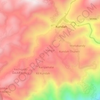
Name: Manjur topographic map, elevation, terrain.
Location: Manjur, The Nilgiris, The Nilgiris district, Tamil Nadu, India (11.25161 76.62530 11.29161 76.66530)
Average elevation: 1,731 m
Minimum elevation: 1,080 m
Maximum elevation: 2,031 m