
Paunar topographic map
Interactive map
Click on the map to display elevation.
About this map
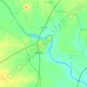
Name: Paunar topographic map, elevation, terrain.
Location: Paunar, Wardha, Maharashtra, 442111, India (20.76166 78.65040 20.80166 78.69040)
Average elevation: 252 m
Minimum elevation: 236 m
Maximum elevation: 272 m