
Cádiz topographic map
Interactive map
Click on the map to display elevation.
About this map
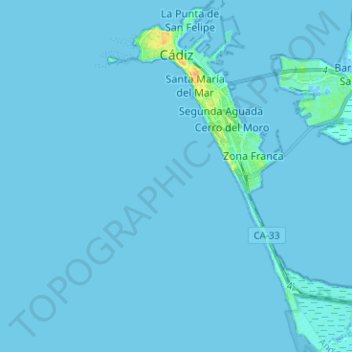
Name: Cádiz topographic map, elevation, terrain.
Location: Cádiz, Andalusia, Spain (36.44367 -6.31751 36.54550 -6.22566)
Average elevation: 1 m
Minimum elevation: -6 m
Maximum elevation: 32 m
Other topographic maps
Click on a map to view its topography, its elevation and its terrain.