
Tadikonda topographic map
Interactive map
Click on the map to display elevation.
About this map
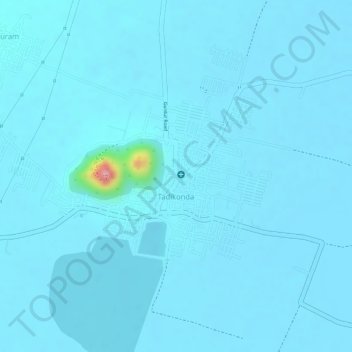
Name: Tadikonda topographic map, elevation, terrain.
Location: Tadikonda, Guntur, Andhra Pradesh, India (16.41316 80.44104 16.42662 80.46233)
Average elevation: 29 m
Minimum elevation: 22 m
Maximum elevation: 155 m