
Wijnjeterpverlaat topographic map
Interactive map
Click on the map to display elevation.
About this map
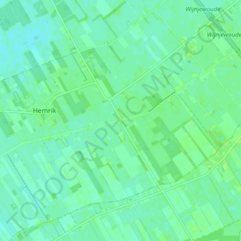
Name: Wijnjeterpverlaat topographic map, elevation, terrain.
Location: Wijnjeterpverlaat, Friesland, Nederland, 8409, Nederland (53.01045 6.13964 53.05045 6.17964)
Average elevation: 4 m
Minimum elevation: 0 m
Maximum elevation: 8 m