
Mathur topographic map
Interactive map
Click on the map to display elevation.
About this map
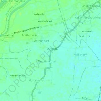
Name: Mathur topographic map, elevation, terrain.
Location: Mathur, Thanjavur district, Tamil Nadu, 614201, India (10.85354 79.14531 10.89354 79.18531)
Average elevation: 38 m
Minimum elevation: 33 m
Maximum elevation: 43 m
Other topographic maps
Click on a map to view its topography, its elevation and its terrain.
Mathur
India > Tamil Nadu > Mathur
Mathur, Kunnam, Perambalur district, Tamil Nadu, 621704, India
Average elevation: 91 m