
Obrajillo topographic map
Interactive map
Click on the map to display elevation.
About this map
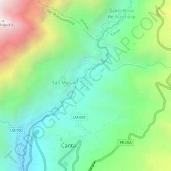
Name: Obrajillo topographic map, elevation, terrain.
Location: Obrajillo, Canta, Lima, Perú (-11.47313 -76.63983 -11.43313 -76.59983)
Average elevation: 3,067 m
Minimum elevation: 2,496 m
Maximum elevation: 4,287 m