
Chimur topographic map
Interactive map
Click on the map to display elevation.
About this map
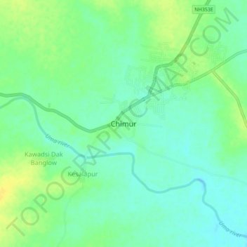
Name: Chimur topographic map, elevation, terrain.
Location: Chimur, Chandrapur, Maharashtra, 442903, India (20.47423 79.35383 20.51423 79.39383)
Average elevation: 233 m
Minimum elevation: 224 m
Maximum elevation: 245 m