
Dharmasala topographic map
Interactive map
Click on the map to display elevation.
About this map
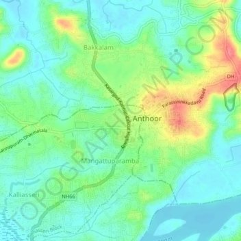
Name: Dharmasala topographic map, elevation, terrain.
Location: Dharmasala, Kannur district, Kerala, 670563, India (11.96612 75.35489 12.00612 75.39489)
Average elevation: 22 m
Minimum elevation: 0 m
Maximum elevation: 72 m