
Cork topographic map
Interactive map
Click on the map to display elevation.
About this map
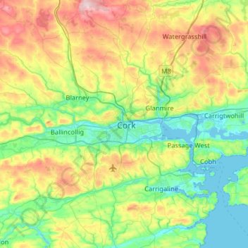
Name: Cork topographic map, elevation, terrain.
Location: Cork, Cork City 2019, County Cork, Munster, T12 EE6N, Ireland (51.73793 -8.63058 52.05793 -8.31058)
Average elevation: 94 m
Minimum elevation: -3 m
Maximum elevation: 304 m