
Cunningham Mountains topographic map
Interactive map
Click on the map to display elevation.
About this map
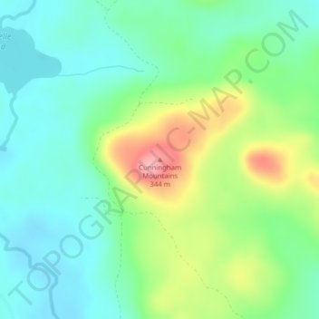
Name: Cunningham Mountains topographic map, elevation, terrain.
Location: Cunningham Mountains, Penobscot County, Maine, USA (46.27250 -68.67454 46.27260 -68.67444)
Average elevation: 262 m
Minimum elevation: 220 m
Maximum elevation: 352 m
Other topographic maps
Click on a map to view its topography, its elevation and its terrain.