
Sargo topographic map
Interactive map
Click on the map to display elevation.
About this map
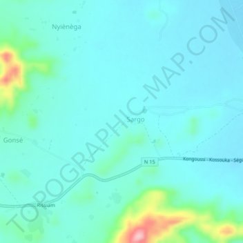
Name: Sargo topographic map, elevation, terrain.
Location: Sargo, Bam, Central-North, Burkina Faso (13.30498 -1.58638 13.34498 -1.54638)
Average elevation: 342 m
Minimum elevation: 315 m
Maximum elevation: 486 m