
Rajarhat topographic map
Interactive map
Click on the map to display elevation.
About this map
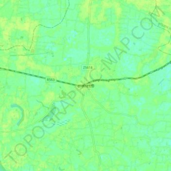
Name: Rajarhat topographic map, elevation, terrain.
Location: Rajarhat, Kurigram District, Rangpur Division, Bangladesh (25.75674 89.50466 25.83674 89.58466)
Average elevation: 29 m
Minimum elevation: 22 m
Maximum elevation: 33 m