
Mahur topographic map
Interactive map
Click on the map to display elevation.
About this map
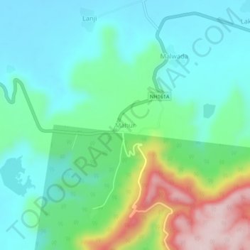
Name: Mahur topographic map, elevation, terrain.
Location: Mahur, Mahoor, Nanded, Maharashtra, India (19.82798 77.90176 19.86798 77.94176)
Average elevation: 359 m
Minimum elevation: 268 m
Maximum elevation: 604 m