
Thenmala Dam topographic map
Interactive map
Click on the map to display elevation.
About this map
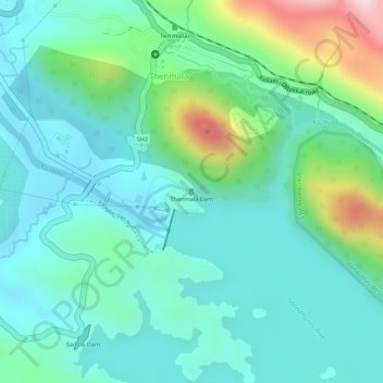
Name: Thenmala Dam topographic map, elevation, terrain.
Location: Thenmala Dam, Kollam, Kerala, 691001, India (8.95688 77.07144 8.95731 77.07173)
Average elevation: 155 m
Minimum elevation: 66 m
Maximum elevation: 412 m
Other topographic maps
Click on a map to view its topography, its elevation and its terrain.
Kallada River
Kallada River, Kollam, Kerala, 691001, India
Average elevation: 8 m
Chadayamangalam
Chadayamangalam, Kollam, Kerala, 691001, India
Average elevation: 69 m