
Holi topographic map
Interactive map
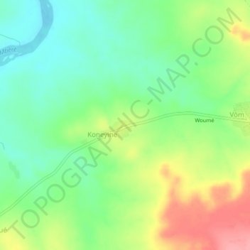
Click on the map to display elevation.
About this map
Name: Holi topographic map, elevation, terrain.
Location: Holi, Logone Oriental, Chad (7.75773 15.71314 7.79773 15.75314)
Average elevation: 476 m
Minimum elevation: 438 m
Maximum elevation: 536 m